Spatial convolution custom filter
Create a spatial 2D filter kernel from list or array.
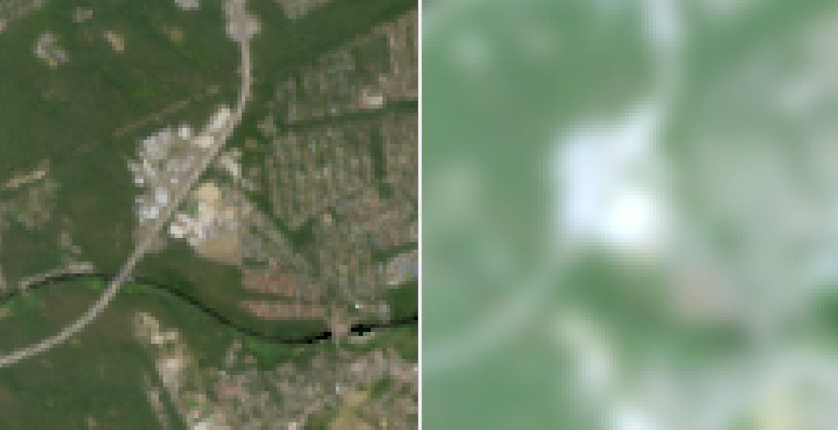
This filter allows to create a custom spatial 2D filter kernel from a list or an array. In this example, the kernel shown below was used.
Usage:
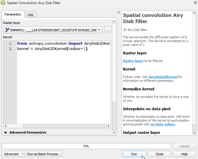
Start the algorithm from the Processing Toolbox panel.
Select the raster to process and modify the parameterization if necessary, then click run.
Processed image in comparison to the original.
Parameters
- Raster layer [raster]
Raster layer to be filtered.
- Kernel [string]
Python code. See CustomKernel for information on different parameters.
Default:
from astropy.convolution import CustomKernel
array = [[1, 1, 1],
         [1, 1, 1],
         [1, 1, 1]]
kernel = CustomKernel(array)
- Normalize kernel [boolean]
Whether to normalize the kernel to have a sum of one.
Default: False
- Interpolate no data pixel [boolean]
Whether to interpolate no data pixel. Will result in renormalization of the kernel at each position ignoring pixels with no data values.
Default: True
Outputs
- Output raster layer [rasterDestination]
Raster file destination.
Command-line usage
>qgis_process help enmapbox:SpatialConvolutionCustomFilter:
----------------
Arguments
----------------

raster: Raster layer
    Argument type:  raster
    Acceptable values:
            - Path to a raster layer
kernel: Kernel
    Default value:  from astropy.convolution import CustomKernel
array = [[1, 1, 1],
         [1, 1, 1],
         [1, 1, 1]]
kernel = CustomKernel(array)
    Argument type:  string
    Acceptable values:
            - String value
            - field:FIELD_NAME to use a data defined value taken from the FIELD_NAME field
            - expression:SOME EXPRESSION to use a data defined value calculated using a custom QGIS expression
normalize: Normalize kernel
    Default value:  false
    Argument type:  boolean
    Acceptable values:
            - 1 for true/yes
            - 0 for false/no
            - field:FIELD_NAME to use a data defined value taken from the FIELD_NAME field
            - expression:SOME EXPRESSION to use a data defined value calculated using a custom QGIS expression
interpolate: Interpolate no data pixel
    Default value:  true
    Argument type:  boolean
    Acceptable values:
            - 1 for true/yes
            - 0 for false/no
            - field:FIELD_NAME to use a data defined value taken from the FIELD_NAME field
            - expression:SOME EXPRESSION to use a data defined value calculated using a custom QGIS expression
outputRaster: Output raster layer
    Argument type:  rasterDestination
    Acceptable values:
            - Path for new raster layer

----------------
Outputs
----------------

outputRaster: <outputRaster>
    Output raster layer