Spatial convolution Ricker Wavelet filter
2D Ricker Wavelet filter kernel (sometimes known as a Mexican Hat kernel). The Ricker Wavelet, or inverted Gaussian-Laplace filter, is a bandpass filter. It smooths the data and removes slowly varying or constant structures (e.g. background). It is useful for peak or multi-scale detection.
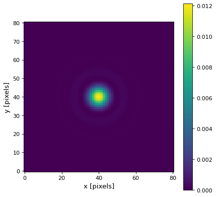
The Ricker wavelet filter convolves an image with a kernel that approximates the Ricker wavelet, which is a bell-shaped waveform that resembles a symmetrically shaped hat or a Mexican hat. The Ricker wavelet filter is typically used for detecting and enhancing specific features or structures in an image. It is particularly effective in detecting edges, lines, or other localized patterns with a characteristic scale. The central peak of the Ricker wavelet helps to emphasize these features, while the positive and negative lobes contribute to enhancing the contrast and edges, which smooths the data and removes slowly varying or constant structures (e.g. background). It is useful for peak or multi-scale detection. An exemplary kernel can be found below.
Usage:
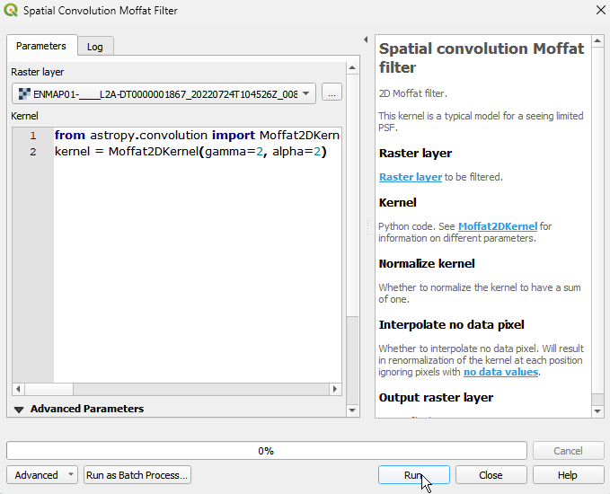
Start the algorithm from the Processing Toolbox panel.
Select the raster to process and modify the parameterization if necessary, then click run.
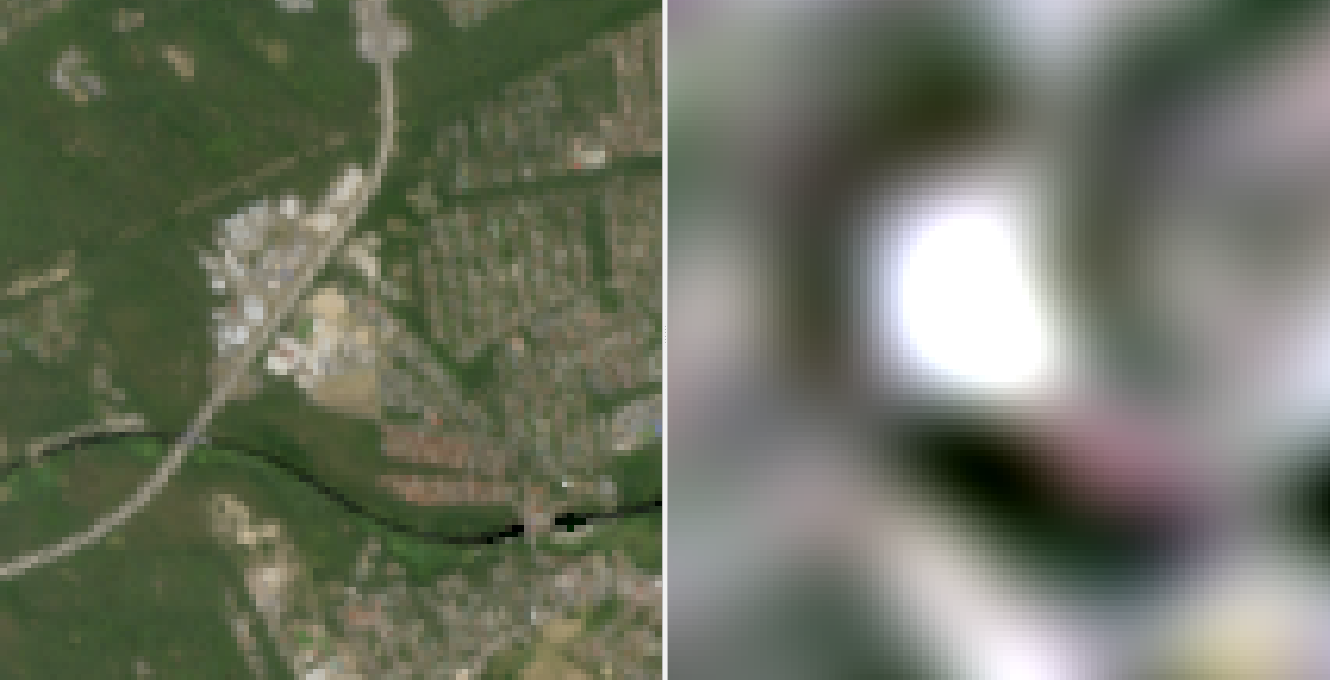
Processed image in comparison to the original.
Parameters
- Raster layer [raster]
Raster layer to be filtered.
- Kernel [string]
Python code. See RickerWavelet2DKernel for information on different parameters.
Default:
from astropy.convolution import RickerWavelet2DKernel
kernel = RickerWavelet2DKernel(width=1)
- Normalize kernel [boolean]
Whether to normalize the kernel to have a sum of one.
Default: False
- Interpolate no data pixel [boolean]
Whether to interpolate no data pixel. Will result in renormalization of the kernel at each position ignoring pixels with no data values.
Default: False
Outputs
- Output raster layer [rasterDestination]
Raster file destination.
Command-line usage
>qgis_process help enmapbox:SpatialConvolutionRickerWaveletFilter:
----------------
Arguments
----------------

raster: Raster layer
    Argument type:  raster
    Acceptable values:
            - Path to a raster layer
kernel: Kernel
    Default value:  from astropy.convolution import RickerWavelet2DKernel
kernel = RickerWavelet2DKernel(width=1)
    Argument type:  string
    Acceptable values:
            - String value
            - field:FIELD_NAME to use a data defined value taken from the FIELD_NAME field
            - expression:SOME EXPRESSION to use a data defined value calculated using a custom QGIS expression
normalize: Normalize kernel
    Default value:  false
    Argument type:  boolean
    Acceptable values:
            - 1 for true/yes
            - 0 for false/no
            - field:FIELD_NAME to use a data defined value taken from the FIELD_NAME field
            - expression:SOME EXPRESSION to use a data defined value calculated using a custom QGIS expression
interpolate: Interpolate no data pixel
    Default value:  false
    Argument type:  boolean
    Acceptable values:
            - 1 for true/yes
            - 0 for false/no
            - field:FIELD_NAME to use a data defined value taken from the FIELD_NAME field
            - expression:SOME EXPRESSION to use a data defined value calculated using a custom QGIS expression
outputRaster: Output raster layer
    Argument type:  rasterDestination
    Acceptable values:
            - Path for new raster layer

----------------
Outputs
----------------

outputRaster: <outputRaster>
    Output raster layer