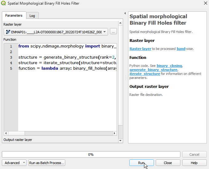
Spatial morphological Binary Fill Holes filter
Spatial morphological Binary Fill Holes filter.
The filter operates by iteratively applying a combination of binary dilation and binary erosion operations until all the holes in the image are filled. It performs binary dilation on the complement of the input image (flipping 1 and 0 pixels), followed by a binary intersection with the original input image. This process is repeated until no changes are observed in the resulting image, indicating that all holes have been filled.
When applying this algorithm to continous image data, the input will be binarised.
Usage:
Start the algorithm from the Processing Toolbox panel.
Select the raster to process and modify the parameterization if necessary, then click run.
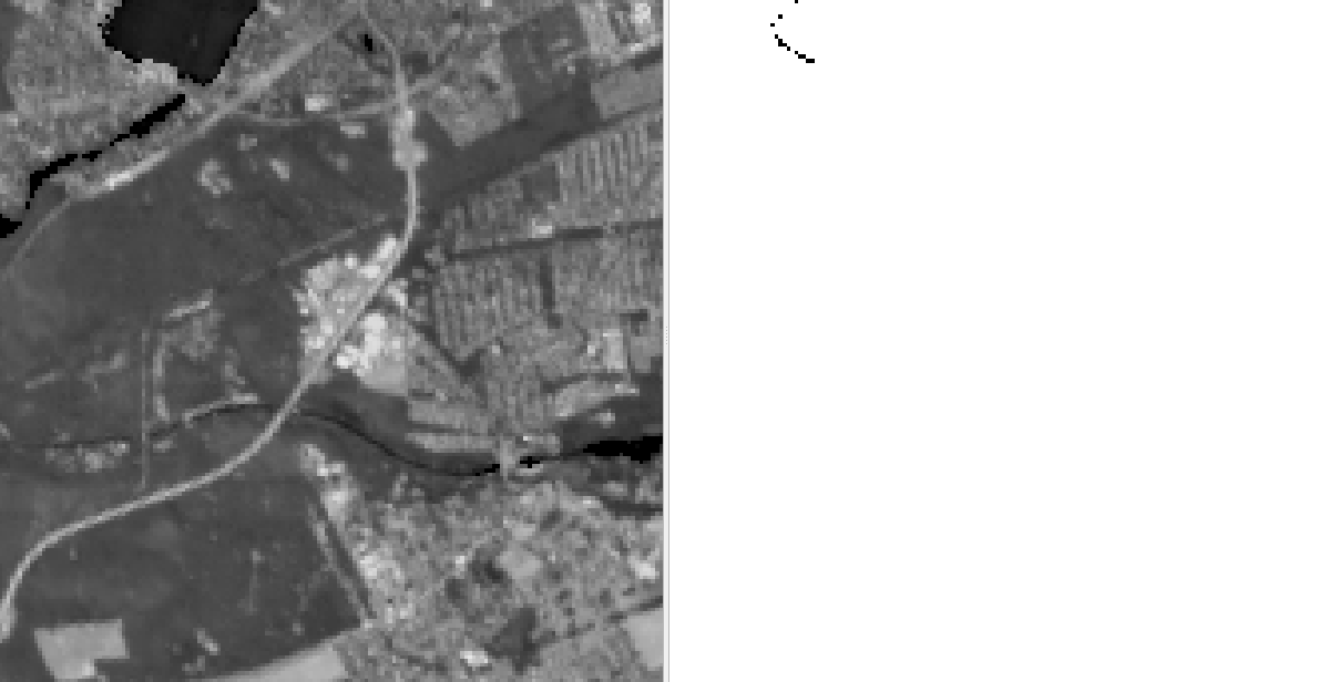
Processed image in comparison to the original.
Parameters
- Raster layer [raster]
Raster layer to be processed band-wise.
- Function [string]
Python code. See binary_closing, generate_binary_structure, iterate_structure for information on different parameters.
Default:
from scipy.ndimage import binary_fill_holes, generate_binary_structure, iterate_structure

structure = generate_binary_structure(rank=2, connectivity=1)
structure = iterate_structure(structure=structure, iterations=1)
function = lambda array: binary_fill_holes(array, structure=structure)
Outputs
- Output raster layer [rasterDestination]
Raster file destination.
Command-line usage
>qgis_process help enmapbox:SpatialMorphologicalBinaryFillHolesFilter:
----------------
Arguments
----------------

raster: Raster layer
    Argument type:  raster
    Acceptable values:
            - Path to a raster layer
function: Function
    Default value:  from scipy.ndimage import binary_fill_holes, generate_binary_structure, iterate_structure

structure = generate_binary_structure(rank=2, connectivity=1)
structure = iterate_structure(structure=structure, iterations=1)
function = lambda array: binary_fill_holes(array, structure=structure)
    Argument type:  string
    Acceptable values:
            - String value
            - field:FIELD_NAME to use a data defined value taken from the FIELD_NAME field
            - expression:SOME EXPRESSION to use a data defined value calculated using a custom QGIS expression
outputRaster: Output raster layer
    Argument type:  rasterDestination
    Acceptable values:
            - Path for new raster layer

----------------
Outputs
----------------

outputRaster: <outputRaster>
    Output raster layer