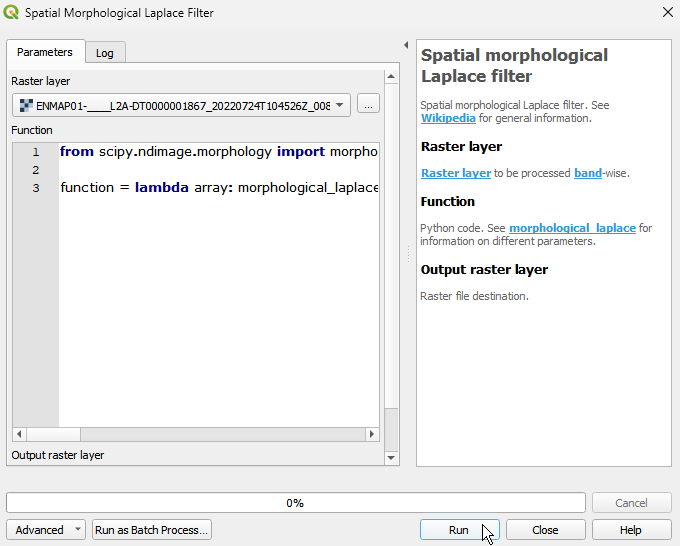
Spatial morphological Laplace filter
Spatial morphological Laplace filter. See Wikipedia for general information.
The Spatial morphological Laplace filter is used to enhance and detect edges or transitions in an image. It combines morphological dilation and erosion operations to isolate high-frequency components associated with image edges.
Usage:
Start the algorithm from the Processing Toolbox panel.
Select the raster to process and modify the parameterization if necessary, then click run.
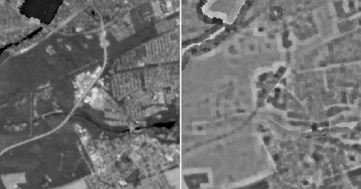
Processed image in comparison to the original.
Parameters
- Raster layer [raster]
Raster layer to be processed band-wise.
- Function [string]
Python code. See morphological_laplace for information on different parameters.
Default:
from scipy.ndimage import morphological_laplace

function = lambda array: morphological_laplace(array, size=(3, 3))
Outputs
- Output raster layer [rasterDestination]
Raster file destination.
Command-line usage
>qgis_process help enmapbox:SpatialMorphologicalLaplaceFilter:
----------------
Arguments
----------------

raster: Raster layer
    Argument type:  raster
    Acceptable values:
            - Path to a raster layer
function: Function
    Default value:  from scipy.ndimage import morphological_laplace

function = lambda array: morphological_laplace(array, size=(3, 3))
    Argument type:  string
    Acceptable values:
            - String value
            - field:FIELD_NAME to use a data defined value taken from the FIELD_NAME field
            - expression:SOME EXPRESSION to use a data defined value calculated using a custom QGIS expression
outputRaster: Output raster layer
    Argument type:  rasterDestination
    Acceptable values:
            - Path for new raster layer

----------------
Outputs
----------------

outputRaster: <outputRaster>
    Output raster layer