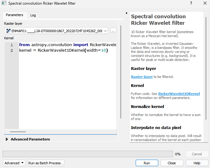
Spectral convolution Ricker Wavelet filter
1D Ricker Wavelet filter kernel (sometimes known as a Mexican Hat kernel). The Ricker Wavelet, or inverted Gaussian-Laplace filter, is a bandpass filter. It smooths the data and removes slowly varying or constant structures (e.g. background). It is useful for peak or multi-scale detection.
Usage:
Start the algorithm from the Processing Toolbox panel.
Select the raster to process and modify the parameterization if necessary, then click run.
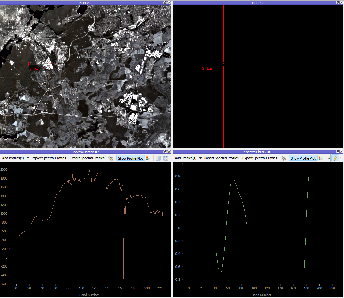
Processed image in comparison to the original.
Parameters
- Raster layer [raster]
Raster layer to be filtered.
- Kernel [string]
Python code. See RickerWavelet1DKernel for information on different parameters.
Default:
from astropy.convolution import RickerWavelet1DKernel
kernel = RickerWavelet1DKernel(width=1)
- Normalize kernel [boolean]
Whether to normalize the kernel to have a sum of one.
Default: False
- Interpolate no data pixel [boolean]
Whether to interpolate no data pixel. Will result in renormalization of the kernel at each position ignoring pixels with no data values.
Default: False
Outputs
- Output raster layer [rasterDestination]
Raster file destination.
Command-line usage
>qgis_process help enmapbox:SpectralConvolutionRickerWaveletFilter:
----------------
Arguments
----------------

raster: Raster layer
    Argument type:  raster
    Acceptable values:
            - Path to a raster layer
kernel: Kernel
    Default value:  from astropy.convolution import RickerWavelet1DKernel
kernel = RickerWavelet1DKernel(width=1)
    Argument type:  string
    Acceptable values:
            - String value
            - field:FIELD_NAME to use a data defined value taken from the FIELD_NAME field
            - expression:SOME EXPRESSION to use a data defined value calculated using a custom QGIS expression
normalize: Normalize kernel
    Default value:  false
    Argument type:  boolean
    Acceptable values:
            - 1 for true/yes
            - 0 for false/no
            - field:FIELD_NAME to use a data defined value taken from the FIELD_NAME field
            - expression:SOME EXPRESSION to use a data defined value calculated using a custom QGIS expression
interpolate: Interpolate no data pixel
    Default value:  false
    Argument type:  boolean
    Acceptable values:
            - 1 for true/yes
            - 0 for false/no
            - field:FIELD_NAME to use a data defined value taken from the FIELD_NAME field
            - expression:SOME EXPRESSION to use a data defined value calculated using a custom QGIS expression
outputRaster: Output raster layer
    Argument type:  rasterDestination
    Acceptable values:
            - Path for new raster layer

----------------
Outputs
----------------

outputRaster: <outputRaster>
    Output raster layer