Create regression dataset (from continuous-valued raster layer and feature raster)
Create a regression dataset by sampling data for labeled pixels and store the result as a pickle file.
Usage:
Open the algorithm from the processing toolbox.
Select a continuous raster layer as well as a raster feature layer, e. g. your image, then click run.
The output classification dataset will be listed under Models in your Data Sources panel.
Parameters
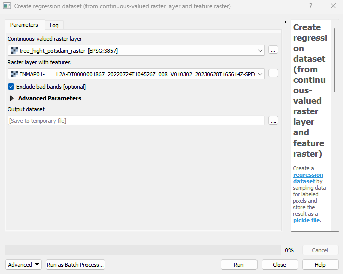
- Continuous-valued raster layer [raster]
Continuous-valued raster layer specifying sample locations and target data Y.If required, the layer is reprojected and resampled internally to match the feature raster grid.
- Raster layer with features [raster]
Raster layer used for sampling feature data X.
- Targets [band]
Bands with continuous-valued variables used as targets. An empty selection defaults to all bands in native order.
- Exclude bad bands [boolean]
Whether to exclude bands, that are marked as bad bands, or contain no data, inf or nan values in all samples.
Default: True
Outputs
- Output dataset [fileDestination]
Pickle file destination.
Command-line usage
>qgis_process help enmapbox:CreateRegressionDatasetFromContinuousvaluedRasterLayerAndFeatureRaster:
----------------
Arguments
----------------

continuousRaster: Continuous-valued raster layer
    Argument type:  raster
    Acceptable values:
            - Path to a raster layer
featureRaster: Raster layer with features
    Argument type:  raster
    Acceptable values:
            - Path to a raster layer
targets: Targets (optional)
    Argument type:  band
    Acceptable values:
            - Integer value representing an existing raster band number
excludeBadBands: Exclude bad bands (optional)
    Default value:  true
    Argument type:  boolean
    Acceptable values:
            - 1 for true/yes
            - 0 for false/no
            - field:FIELD_NAME to use a data defined value taken from the FIELD_NAME field
            - expression:SOME EXPRESSION to use a data defined value calculated using a custom QGIS expression
outputRegressionDataset: Output dataset
    Argument type:  fileDestination
    Acceptable values:
            - Path for new file

----------------
Outputs
----------------

outputRegressionDataset: <outputFile>
    Output dataset