Create unsupervised dataset (from feature raster)
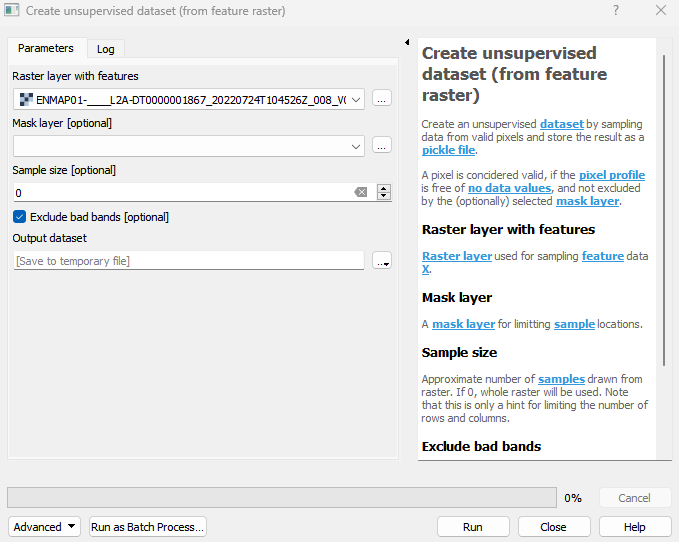
Create an unsupervised dataset by sampling data from valid pixels and store the result as a pickle file. A pixel is concidered valid, if the pixel profile is free of no data values, and not excluded by the (optionally) selected mask layer.
Usage:
Open the algorithm from the processing toolbox.
Select a raster layer containing your features, e. g. a satellite image, then click run.
The output classification dataset will be listed under Models in your Data Sources panel.
Parameters
- Raster layer with features [raster]
Raster layer used for sampling feature data X.
- Mask layer [layer]
A mask layer for limitting sample locations.
- Sample size [number]
Approximate number of samples drawn from raster. If 0, whole raster will be used. Note that this is only a hint for limiting the number of rows and columns.
Default: 0
- Exclude bad bands [boolean]
Whether to exclude bands, that are marked as bad bands, or contain no data, inf or nan values in all samples.
Default: True
Outputs
- Output dataset [fileDestination]
Pickle file destination.
Command-line usage
>qgis_process help enmapbox:CreateUnsupervisedDatasetFromFeatureRaster:
----------------
Arguments
----------------

featureRaster: Raster layer with features
    Argument type:  raster
    Acceptable values:
            - Path to a raster layer
mask: Mask layer (optional)
    Argument type:  layer
    Acceptable values:
            - Path to a vector, raster or mesh layer
sampleSize: Sample size (optional)
    Default value:  0
    Argument type:  number
    Acceptable values:
            - A numeric value
            - field:FIELD_NAME to use a data defined value taken from the FIELD_NAME field
            - expression:SOME EXPRESSION to use a data defined value calculated using a custom QGIS expression
excludeBadBands: Exclude bad bands (optional)
    Default value:  true
    Argument type:  boolean
    Acceptable values:
            - 1 for true/yes
            - 0 for false/no
            - field:FIELD_NAME to use a data defined value taken from the FIELD_NAME field
            - expression:SOME EXPRESSION to use a data defined value calculated using a custom QGIS expression
outputUnsupervisedDataset: Output dataset
    Argument type:  fileDestination
    Acceptable values:
            - Path for new file

----------------
Outputs
----------------

outputUnsupervisedDataset: <outputFile>
    Output dataset