Import DESIS L1C product
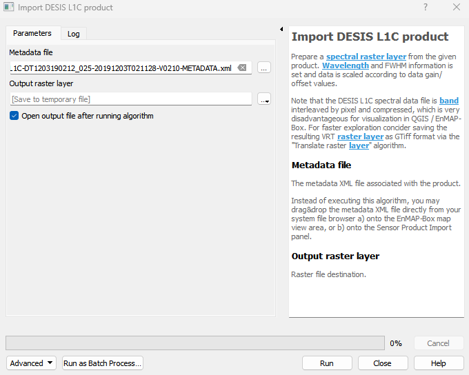
Prepare a spectral raster layer from the given product. Wavelength and FWHM information is set and data is scaled according to data gain/offset values. Note that the DESIS L1C spectral data file is band interleaved by pixel and compressed, which is very disadvantageous for visualization in QGIS / EnMAP-Box. For faster exploration concider saving the resulting VRT raster layer as GTiff format via the “Translate raster layer” algorithm.
Usage:
Open the algorithm from the processing toolbox.
Select the metadata file, then click run.
The output raster can be found under Rasters in the Data Source Panel
Parameters
- Metadata file [file]
The metadata XML file associated with the product. Instead of executing this algorithm, you may drag&drop the metadata XML file directly from your system file browser a) onto the EnMAP-Box map view area, or b) onto the Sensor Product Import panel.
Outputs
- Output raster layer [rasterDestination]
Raster file destination.
Command-line usage
>qgis_process help enmapbox:ImportDesisL1CProduct:
----------------
Arguments
----------------

file: Metadata file
    Argument type:  file
    Acceptable values:
            - Path to a file
outputDesisL1CRaster: Output raster layer
    Argument type:  rasterDestination
    Acceptable values:
            - Path for new raster layer

----------------
Outputs
----------------

outputDesisL1CRaster: <outputRaster>
    Output raster layer