Import PRISMA L1 product
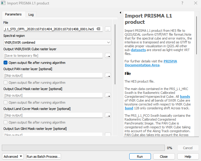
Import PRISMA L1 product from HE5 file to QGIS/GDAL conform GTiff/VRT file format.Note that for the spectral cube and error matrix, the interleave is transposed and stored as GTiff to enable proper visualization in QGIS.All other sub-datasets are stored as light-weight VRT files. For further details visit the PRISMA Documentation Area.
Usage:
Open the algorithm from the processing toolbox.
Select the metadata file, then click run.
The output raster can be found under Rasters in the Data Source Panel
Parameters
- File [file]
The HE5 product file. The main data contained in the PRS_L1_HRC Swath is the Radiometric Calibrated Coregistersed Hyperspectral Cube. All bands of VNIR Cube and all bands of SWIR Cube are keystone corrected with respect to VNIR Cube band 128 only considering shift Across track. The PRS_L1_PCO Swath basically contains the Radiometric Calibrated Coregistered Panchromatic Image. The PAN Cube is coregistered with respect to VNIR Cube taking into account of the Along Track coregistration. PAN Cube also takes into account the Across track offset PAN – VNIR. All pixel of PAN Cube are keystone corrected with respect to VNIR Cube band 128 only considering shift Across track. Instead of executing this algorithm, you may drag&drop the HE5 file directly from your system file browser a) onto the EnMAP-Box map view area, or b) onto the Sensor Product Import panel.
- Spectral region [enum]
Spectral region to be imported.
Default: 0
Outputs
- Output VNIR/SWIR Cube raster layer [rasterDestination]
VNIR/SWIR Cube GTiff raster file destination.
- Output PAN raster layer [rasterDestination]
PAN VRT raster file destination.
- Output Cloud Mask raster layer [rasterDestination]
Cloud Mask VRT raster file destination.
- Output Land Cover Mask raster layer [rasterDestination]
Land Cover Mask VRT raster file destination.
- Output Sun Glint Mask raster layer [rasterDestination]
Sun Glint Mask VRT raster file destination.
- Output VNIR/SWIR Error Matrix raster layer [rasterDestination]
VNIR/SWIR Pixel Error Matrix GTiff raster file destination.
- Output VNIR/SWIR Geolocation Fields raster layer [rasterDestination]
VNIR/SWIR Geolocation Fields VRT raster file destination. Includes Latitude and Longitude bands.
- Output PAN Geolocation Fields raster layer [rasterDestination]
PAN Geolocation Fields VRT raster file destination. Includes Latitude and Longitude bands.
- Output PAN Error Matrix raster layer [rasterDestination]
PAN Pixel Error Matrix VRT raster file destination.
Command-line usage
>qgis_process help enmapbox:ImportPrismaL1Product:
----------------
Arguments
----------------

file: File
    Argument type:  file
    Acceptable values:
            - Path to a file
spectralRegion: Spectral region
    Default value:  0
    Argument type:  enum
    Available values:
            - 0: VNIR/SWIR combined
            - 1: VNIR only
            - 2: SWIR only
    Acceptable values:
            - Number of selected option, e.g. '1'
            - Comma separated list of options, e.g. '1,3'
outputPrismaL1_spectralCube: Output VNIR/SWIR Cube raster layer
    Argument type:  rasterDestination
    Acceptable values:
            - Path for new raster layer
outputPrismaL1_panCube: Output PAN raster layer (optional)
    Argument type:  rasterDestination
    Acceptable values:
            - Path for new raster layer
outputPrismaL1_cloudMask: Output Cloud Mask raster layer (optional)
    Argument type:  rasterDestination
    Acceptable values:
            - Path for new raster layer
outputPrismaL1_landCoverMask: Output Land Cover Mask raster layer (optional)
    Argument type:  rasterDestination
    Acceptable values:
            - Path for new raster layer
outputPrismaL1_sunGlintMask: Output Sun Glint Mask raster layer (optional)
    Argument type:  rasterDestination
    Acceptable values:
            - Path for new raster layer
outputPrisma1_spectralErrorMatrix: Output VNIR/SWIR Error Matrix raster layer (optional)
    Argument type:  rasterDestination
    Acceptable values:
            - Path for new raster layer
outputPrismaL1_spectralGeolocationFields: Output VNIR/SWIR Geolocation Fields raster layer (optional)
    Argument type:  rasterDestination
    Acceptable values:
            - Path for new raster layer
outputPrismaL1_panGeolocationFields: Output PAN Geolocation Fields raster layer (optional)
    Argument type:  rasterDestination
    Acceptable values:
            - Path for new raster layer
outputPrismaL1_panErrorMatrix: Output PAN Error Matrix raster layer (optional)
    Argument type:  rasterDestination
    Acceptable values:
            - Path for new raster layer

----------------
Outputs
----------------

outputPrismaL1_spectralCube: <outputRaster>
    Output VNIR/SWIR Cube raster layer
outputPrismaL1_panCube: <outputRaster>
    Output PAN raster layer
outputPrismaL1_cloudMask: <outputRaster>
    Output Cloud Mask raster layer
outputPrismaL1_landCoverMask: <outputRaster>
    Output Land Cover Mask raster layer
outputPrismaL1_sunGlintMask: <outputRaster>
    Output Sun Glint Mask raster layer
outputPrisma1_spectralErrorMatrix: <outputRaster>
    Output VNIR/SWIR Error Matrix raster layer
outputPrismaL1_spectralGeolocationFields: <outputRaster>
    Output VNIR/SWIR Geolocation Fields raster layer
outputPrismaL1_panGeolocationFields: <outputRaster>
    Output PAN Geolocation Fields raster layer
outputPrismaL1_panErrorMatrix: <outputRaster>
    Output PAN Error Matrix raster layer