Import Sentinel-2 L2A product
Prepare a spectral raster layer from the given product. Wavelength information is set and data is scaled into the 0 to 10000 range.
Usage:
Open the algorithm from the processing toolbox.
Select the metadata file
MTD_MSIL2A.xml, then click run.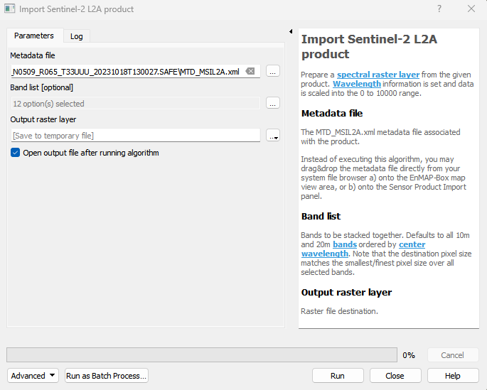
The output raster can be found under Rasters in the Data Source Panel
Parameters
- Metadata file [file]
The MTD_MSIL2A.xml metadata file associated with the product. Instead of executing this algorithm, you may drag&drop the metadata file directly from your system file browser a) onto the EnMAP-Box map view area, or b) onto the Sensor Product Import panel.
- Band list [enum]
Bands to be stacked together. Defaults to all 10m and 20m bands ordered by center wavelength. Note that the destination pixel size matches the smallest/finest pixel size over all selected bands.
Default: [0, 1, 2, 3, 4, 5, 6, 7, 8, 9, 10, 11]
Outputs
- Output raster layer [rasterDestination]
Raster file destination.
Command-line usage
>qgis_process help enmapbox:ImportSentinel2L2AProduct:
----------------
Arguments
----------------

file: Metadata file
    Argument type:  file
    Acceptable values:
            - Path to a file
bandList: Band list (optional)
    Default value:
    Argument type:  enum
    Available values:
            - 0: B1, Coastal aerosol (443 Nanometers)[60 Meter]
            - 1: B2, Blue (492 Nanometers)[10 Meter]
            - 2: B3, Green (560 Nanometers)[10 Meter]
            - 3: B4, Red (665 Nanometers)[10 Meter]
            - 4: B5, Vegetation red edge (704 Nanometers)[20 Meter]
            - 5: B6, Vegetation red edge (741 Nanometers)[20 Meter]
            - 6: B7, Vegetation red edge (783 Nanometers)[20 Meter]
            - 7: B8, NIR (833 Nanometers)[10 Meter]
            - 8: B8A, Narrow NIR (865 Nanometers)[20 Meter]
            - 9: B9, Water vapour (945 Nanometers)[60 Meter]
            - 10: B11, SWIR (1614 Nanometers)[20 Meter]
            - 11: B12, SWIR (2202 Nanometers)[20 Meter]
    Acceptable values:
            - Number of selected option, e.g. '1'
            - Comma separated list of options, e.g. '1,3'
outputSentinel2L2ARaster: Output raster layer
    Argument type:  rasterDestination
    Acceptable values:
            - Path for new raster layer

----------------
Outputs
----------------

outputSentinel2L2ARaster: <outputRaster>
    Output raster layer