Spectral resampling (to Landsat 7 ETM+)
Spectral resampling to Landsat 7 ETM+ sensor. For more information see the mission website.
Usage:
Start the algorithm from the Processing Toolbox panel.
Select a raster layer to process and click run.
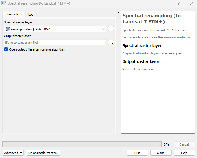
Parameters
- Spectral raster layer [raster]
A spectral raster layer to be resampled.
Outputs
- Output raster layer [rasterDestination]
Raster file destination.
Command-line usage
>qgis_process help enmapbox:SpectralResamplingToLandsat7Etm:
----------------
Arguments
----------------

raster: Spectral raster layer
    Argument type:  raster
    Acceptable values:
            - Path to a raster layer
outputResampledRaster: Output raster layer
    Argument type:  rasterDestination
    Acceptable values:
            - Path for new raster layer

----------------
Outputs
----------------

outputResampledRaster: <outputRaster>
    Output raster layer