Spectral resampling (to response function library)
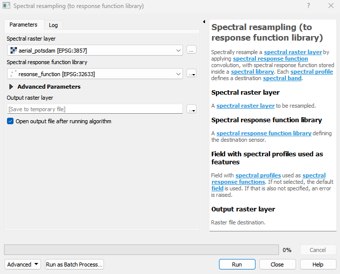
Spectrally resample a spectral raster layer by applying spectral response function convolution, with spectral response function stored inside a spectral library. Each spectral profile defines a destination spectral band.
Usage:
Start the algorithm from the Processing Toolbox panel.
Select a raster layer to process and a response function library, then click run.
Parameters
- Spectral raster layer [raster]
A spectral raster layer to be resampled.
- Spectral response function library [vector]
A spectral response function library defining the destination sensor.
- Field with spectral profiles used as features [field]
Field with spectral profiles used as spectral response functions. If not selected, the default field is used. If that is also not specified, an error is raised.
Outputs
- Output raster layer [rasterDestination]
Raster file destination.
Command-line usage
>qgis_process help enmapbox:SpectralResamplingToResponseFunctionLibrary:
----------------
Arguments
----------------

raster: Spectral raster layer
    Argument type:  raster
    Acceptable values:
            - Path to a raster layer
library: Spectral response function library
    Argument type:  vector
    Acceptable values:
            - Path to a vector layer
field: Field with spectral profiles used as features (optional)
    Argument type:  field
    Acceptable values:
            - The name of an existing field
            - ; delimited list of existing field names
outputResampledRaster: Output raster layer
    Argument type:  rasterDestination
    Acceptable values:
            - Path for new raster layer

----------------
Outputs
----------------

outputResampledRaster: <outputRaster>
    Output raster layer