Random points from categorized raster layer
This algorithm creates a new point layer with a given number of random points, all of them within the categories of the given categorized raster layer.
Usage:
Start the algorithm from the Processing Toolbox panel.
Select a categorized raster layer to process define the number of points per class as well as your distance settings. Then click run.
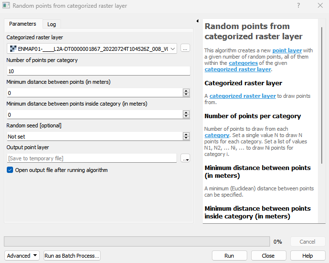
Parameters
- Categorized raster layer [raster]
A categorized raster layer to draw points from.
- Number of points per category [string]
Number of points to draw from each category. Set a single value N to draw N points for each category. Set a list of values N1, N2, … Ni, … to draw Ni points for category i.
- Minimum distance between points (in meters) [number]
A minimum (Euclidean) distance between points can be specified.
Default: 0
- Minimum distance between points inside category (in meters) [number]
A minimum (Euclidean) distance between points in a category can be specified.
Default: 0
- Random seed [number]
The seed for the random generator can be provided.
Outputs
- Output point layer [vectorDestination]
Vector file destination.
Command-line usage
>qgis_process help enmapbox:RandomPointsFromCategorizedRasterLayer:
----------------
Arguments
----------------

stratification: Categorized raster layer
    Argument type:  raster
    Acceptable values:
            - Path to a raster layer
n: Number of points per category
    Argument type:  string
    Acceptable values:
            - String value
            - field:FIELD_NAME to use a data defined value taken from the FIELD_NAME field
            - expression:SOME EXPRESSION to use a data defined value calculated using a custom QGIS expression
distanceGlobal: Minimum distance between points (in meters)
    Default value:  0
    Argument type:  number
    Acceptable values:
            - A numeric value
            - field:FIELD_NAME to use a data defined value taken from the FIELD_NAME field
            - expression:SOME EXPRESSION to use a data defined value calculated using a custom QGIS expression
distanceStatum: Minimum distance between points inside category (in meters)
    Default value:  0
    Argument type:  number
    Acceptable values:
            - A numeric value
            - field:FIELD_NAME to use a data defined value taken from the FIELD_NAME field
            - expression:SOME EXPRESSION to use a data defined value calculated using a custom QGIS expression
seed: Random seed (optional)
    Argument type:  number
    Acceptable values:
            - A numeric value
            - field:FIELD_NAME to use a data defined value taken from the FIELD_NAME field
            - expression:SOME EXPRESSION to use a data defined value calculated using a custom QGIS expression
outputPoints: Output point layer
    Argument type:  vectorDestination
    Acceptable values:
            - Path for new vector layer

----------------
Outputs
----------------

outputPoints: <outputVector>
    Output point layer