Random points from mask raster layer
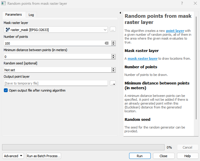
This algorithm creates a new point layer with a given number of random points, all of them in the area where the given mask evaluates to true.
Usage:
Start the algorithm from the Processing Toolbox panel.
Select a categorized raster layer to process define the number of points as well as your distance settings. Then click run.
Parameters
- Mask raster layer [raster]
A mask raster layer to draw locations from.
- Number of points [number]
Number of points to be drawn.
- Minimum distance between points (in meters) [number]
A minimum distance between points can be specified. A point will not be added if there is an already generated point within this (Euclidean) distance from the generated location.
Default: 0
- Random seed [number]
The seed for the random generator can be provided.
Outputs
- Output point layer [vectorDestination]
Vector file destination.
Command-line usage
>qgis_process help enmapbox:RandomPointsFromMaskRasterLayer:
----------------
Arguments
----------------

mask: Mask raster layer
    Argument type:  raster
    Acceptable values:
            - Path to a raster layer
n: Number of points
    Argument type:  number
    Acceptable values:
            - A numeric value
            - field:FIELD_NAME to use a data defined value taken from the FIELD_NAME field
            - expression:SOME EXPRESSION to use a data defined value calculated using a custom QGIS expression
distance: Minimum distance between points (in meters)
    Default value:  0
    Argument type:  number
    Acceptable values:
            - A numeric value
            - field:FIELD_NAME to use a data defined value taken from the FIELD_NAME field
            - expression:SOME EXPRESSION to use a data defined value calculated using a custom QGIS expression
seed: Random seed (optional)
    Argument type:  number
    Acceptable values:
            - A numeric value
            - field:FIELD_NAME to use a data defined value taken from the FIELD_NAME field
            - expression:SOME EXPRESSION to use a data defined value calculated using a custom QGIS expression
outputPoints: Output point layer
    Argument type:  vectorDestination
    Acceptable values:
            - Path for new vector layer

----------------
Outputs
----------------

outputPoints: <outputVector>
    Output point layer