Spatial morphological Black Top-Hat filter
Spatial morphological Black Top-Hat filter. See Wikipedia for general information.
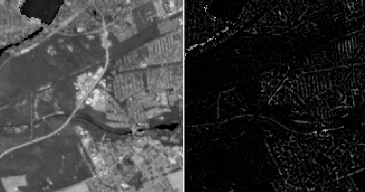
The filter is designed to isolate specific components in an image. The Black Top-Hat filter is specifically used to extract small, dark structures that are narrower or smaller than the structuring element used.
The filter operates by performing a series of morphological operations on the input image.
Usage:
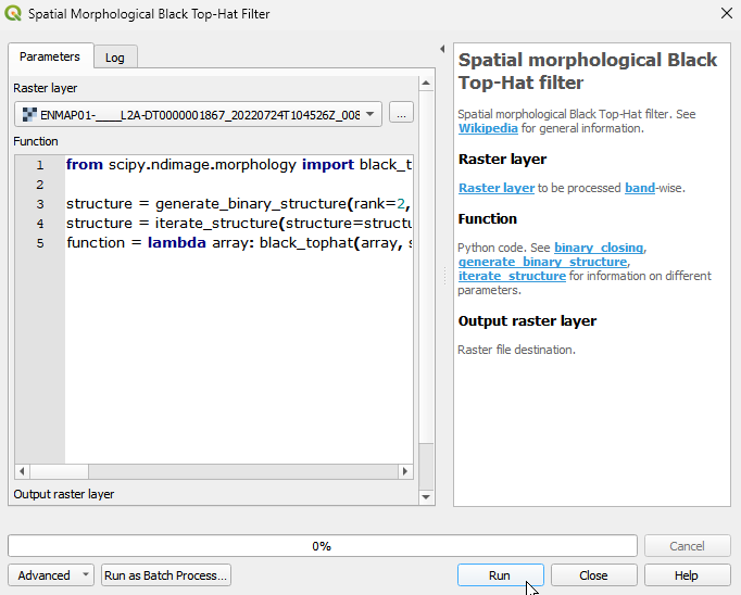
Start the algorithm from the Processing Toolbox panel.
Select the raster to process and modify the parameterization if necessary, then click run.
Processed image in comparison to the original.
Parameters
- Raster layer [raster]
Raster layer to be processed band-wise.
- Function [string]
Python code. See binary_closing, generate_binary_structure, iterate_structure for information on different parameters.
Default:
from scipy.ndimage import black_tophat, generate_binary_structure, iterate_structure

structure = generate_binary_structure(rank=2, connectivity=1)
structure = iterate_structure(structure=structure, iterations=1)
function = lambda array: black_tophat(array, structure=structure)
Outputs
- Output raster layer [rasterDestination]
Raster file destination.
Command-line usage
>qgis_process help enmapbox:SpatialMorphologicalBlackTophatFilter:
----------------
Arguments
----------------

raster: Raster layer
    Argument type:  raster
    Acceptable values:
            - Path to a raster layer
function: Function
    Default value:  from scipy.ndimage import black_tophat, generate_binary_structure, iterate_structure

structure = generate_binary_structure(rank=2, connectivity=1)
structure = iterate_structure(structure=structure, iterations=1)
function = lambda array: black_tophat(array, structure=structure)
    Argument type:  string
    Acceptable values:
            - String value
            - field:FIELD_NAME to use a data defined value taken from the FIELD_NAME field
            - expression:SOME EXPRESSION to use a data defined value calculated using a custom QGIS expression
outputRaster: Output raster layer
    Argument type:  rasterDestination
    Acceptable values:
            - Path for new raster layer

----------------
Outputs
----------------

outputRaster: <outputRaster>
    Output raster layer