Example Data
Note
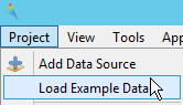
For opening the dataset go to the menubar
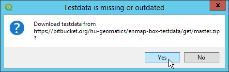
If you try to open the dataset for the first time, you will be asked to download the data from the repository:
After you downloaded the dataset, you can also use the processing algorithm Open Test Maps (in Auxillary) to open the dataset.
EnMAP (30m; 177 bands):
File name: enmap_berlin.bsq
Simulated EnMAP data (based on 3.6m HyMap imagery) acquired in August 2009 over south eastern part of Berlin. It has a spectral resolution of 177 bands and a spatial resolution of 30m.
HyMap (3.6m; Blue, Green, Red bands)
File name: hires_berlin.bsq
HyMap image acquired in August 2009 over south eastern part of Berlin. This dataset was reduced to 3 bands for true color display. The spatial resolution is 3.6m.
LandCover Vector Layer (Polygon):
File name: landcover_berlin_polygon.gpkg
Polygon vector geopackage containing land cover information on three classification levels. Derived from very high resolution aerial imagery and cadastral datasets.
- Level 1 classes: Impervious, Vegetation, Soil, Water
- Level 2 classes: Impervious, Low Vegetation, Soil, Tree, Water
- Level 3 classes: Roof, Pavement, Low Vegetation, Soil, Tree, Water
LandCover Vector Layer (Point):
File name: landcover_berlin_point.shp
Point vector geopackage containing land cover information on two classification levels.
- Level 1 classes: Impervious, Vegetation, Soil, Water
- Level 2 classes: Impervious, Low Vegetation, Soil, Tree, Water
Spectral Library:
File name: library_berlin.sli
Spectral library with 75 spectra (material level, level 2 and level 3 class information)
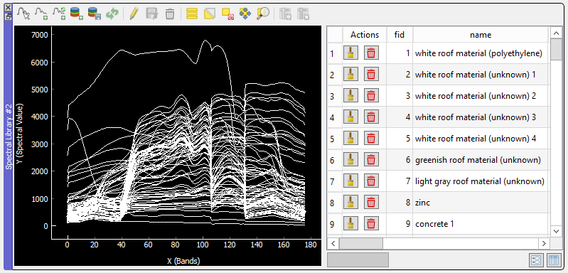
library_berlin.sli opened in the EnMAP-Box Spectral Library Window