Example Data
The EnMAP-Box comes with a ready-to-use example dataset so you can easily test various aspects of the software.
Open
The dataset can be accessed via . This will automatically open all layers in one map view.
If you try to open the dataset for the first time, you will be asked to download the data (confirm with Yes):
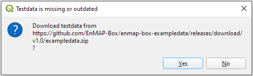
Once downloaded, the data is located inside the plugin folder under enmapboxplugin\enmapbox\exampledata.
Layers
- enmap_potsdam.tif
Hyperspectral EnMAP Level 2A data acquired on the 24th of July 2022 over the City of Potsdam, Germany, Provider: DLR (german aerospace center) EnMAP L2A scene ID: ENMAP01-____L2A-DT0000001867_20220724T104526Z_008_V010302_20230628T165614Z (processing v1.3.2) Ground sampling distance: 30 m Number of bands: 224 (from 400 to 2450 nm) Number of bad bands: 6 (filled with no data value) Data: 330x200x244 (Float32)
- aerial_potsdam.tif
Aerial image acquired on the 1st of April 2019 over the City of Potsdam, Germany. Provider: LGB (Landesvermessung und Geobasisinformation Brandenburg) Ground sampling distance: 0.2 m resampled to 1 m Number of bands: 4 (red, green, blue, near-infrared) Data: 9000x9000x4 (Byte) Copyrights: GeoBasis-DE/LGB, dl-de/by-2-0 and Geoportal Berlin, dl-de/by-2-0 (data modified). Also see https://geobroker.geobasis-bb.de/gbss.php?MODE=GetProductInformation&PRODUCTID=253b7d3d-6b42-47dc-b127-682de078b7ae
- landcover_potsdam_polygon.gpkg
Land cover reference polygons derived from the aerial imagery described above. Number of polygons: 9677 Level 1 classes: Impervious, Vegetation, Soil, Water Level 2 classes: Impervious, Low Vegetation, Soil, Tree, Water Level 3 classes: Roof, Pavement, Low Vegetation, Soil, Tree, Water
- landcover_potsdam_point.gpkg
Land cover reference points derived from the aerial imagery described above. Number of points: 120 Level 1 classes: Impervious, Vegetation, Soil, Water Level 2 classes: Impervious, Low Vegetation, Soil, Tree, Water
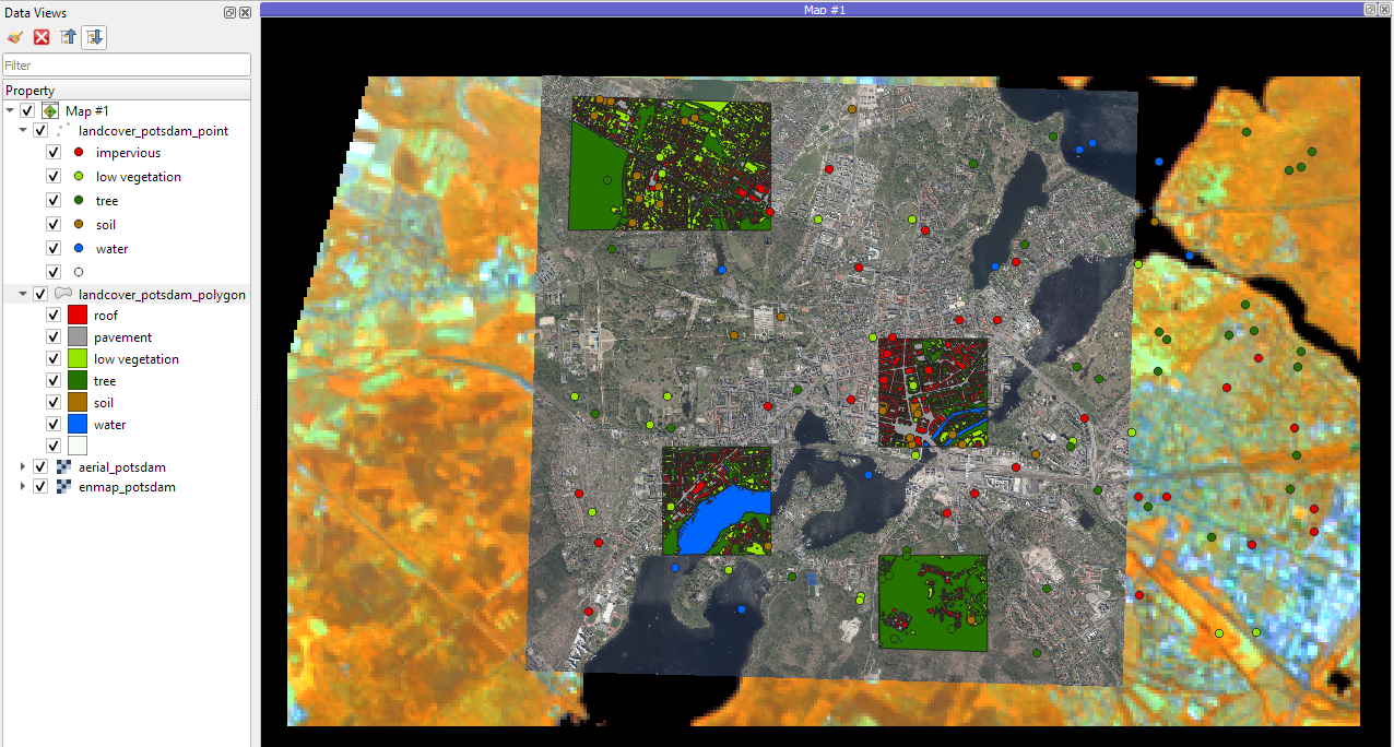
Fig. 48 All layers from the Example Dataset opened in one map view
Full EnMAP Example Scene
Download the full EnMAP L2A Scene which enmap_potsdam.tif is based on via
or from the following link:
https://box.hu-berlin.de/f/8baee334773b4cb8847e/