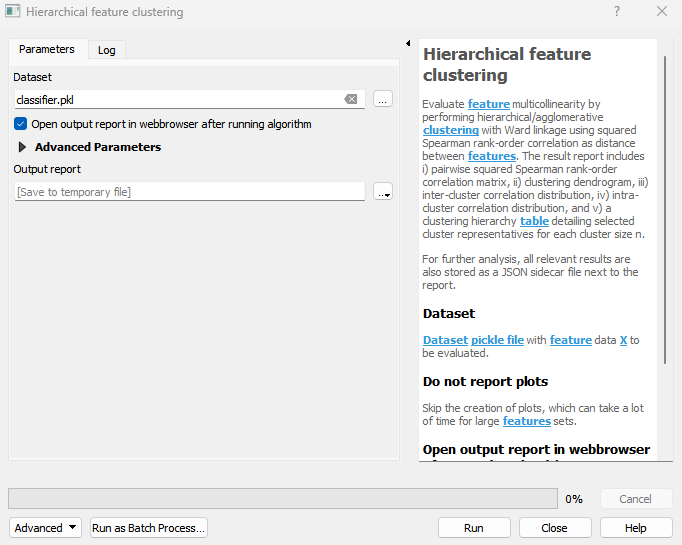
Hierarchical feature clustering
Evaluate feature multicollinearity by performing hierarchical/agglomerative clustering with Ward linkage using squared Spearman rank-order correlation as distance between features. The result report includes i) pairwise squared Spearman rank-order correlation matrix, ii) clustering dendrogram, iii) inter-cluster correlation distribution, iv) intra-cluster correlation distribution, and v) a clustering hierarchy table detailing selected cluster representatives for each cluster size n. For further analysis, all relevant results are also stored as a JSON sidecar file next to the report.
Usage:
Open the algorithm from the processing toolbox.
Select a classifier, then click run.
The output report will automatically open in your web browser.
Parameters
- Dataset [file]
Dataset pickle file with feature data X to be evaluated.
- Do not report plots [boolean]
Skip the creation of plots, which can take a lot of time for large features sets. Default: False
- Open output report in webbrowser after running algorithm [boolean]
Whether to open the output report in the web browser. Default: True
Outputs
- Output report [fileDestination]
Report file destination.
Command-line usage
>qgis_process help enmapbox:hierarchicalfeatureclustering:
----------------
Arguments
----------------

dataset: Dataset
    Argument type:    file
    Acceptable values:
        - Path to a file
noPlot: Do not report plots
    Default value:    false
    Argument type:    boolean
    Acceptable values:
        - 1 for true/yes
        - 0 for false/no
        - field:FIELD_NAME to use a data defined value taken from the FIELD_NAME field
        - expression:SOME EXPRESSION to use a data defined value calculated using a custom QGIS expression
openReport: Open output report in webbrowser after running algorithm
    Default value:    true
    Argument type:    boolean
    Acceptable values:
        - 1 for true/yes
        - 0 for false/no
        - field:FIELD_NAME to use a data defined value taken from the FIELD_NAME field
        - expression:SOME EXPRESSION to use a data defined value calculated using a custom QGIS expression
outputHierarchicalFeatureClustering: Output report
    Argument type:    fileDestination
    Acceptable values:
        - Path for new file

----------------
Outputs
----------------

outputHierarchicalFeatureClustering: <outputHtml>
    Output report