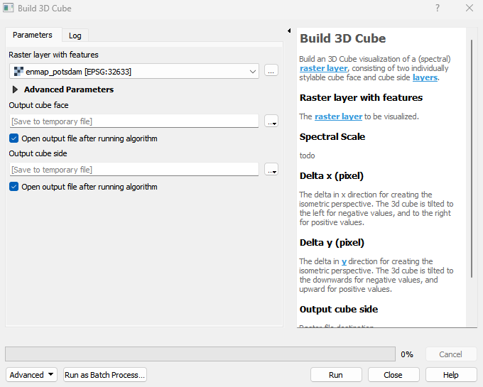
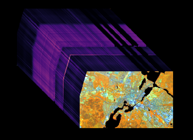
Build 3D Cube
Build an 3D Cube visualization of a (spectral) raster layer, consisting of two individually stylable cube face and cube side layers.
Usage:
Start the algorithm from the Processing Toolbox panel.
Select a raster layer, then click run.
The resulting cube side and face can be found under Data Sources
Parameters
- Raster layer with features [raster]
The raster layer to be visualized.
- Spectral Scale [number]
todo Default: 1
- Delta x (pixel) [number]
The delta in x direction for creating the isometric perspective. The 3d cube is tilted to the left for negative values, and to the right for positive values. Default: 1
- Delta y (pixel) [number]
The delta in y direction for creating the isometric perspective. The 3d cube is tilted to the downwards for negative values, and upward for positive values. Default: 1
Outputs
- Output cube face [rasterDestination]
Raster file destination.
- Output cube side [rasterDestination]
Raster file destination.
Command-line usage
>qgis_process help enmapbox:build3dcube:
----------------
Arguments
----------------

raster: Raster layer with features
    Argument type:    raster
    Acceptable values:
        - Path to a raster layer
spectralScale: Spectral Scale (optional)
    Default value:    1
    Argument type:    number
    Acceptable values:
        - A numeric value
        - field:FIELD_NAME to use a data defined value taken from the FIELD_NAME field
        - expression:SOME EXPRESSION to use a data defined value calculated using a custom QGIS expression
dx: Delta x (pixel) (optional)
    Default value:    1
    Argument type:    number
    Acceptable values:
        - A numeric value
        - field:FIELD_NAME to use a data defined value taken from the FIELD_NAME field
        - expression:SOME EXPRESSION to use a data defined value calculated using a custom QGIS expression
dy: Delta y (pixel) (optional)
    Default value:    1
    Argument type:    number
    Acceptable values:
        - A numeric value
        - field:FIELD_NAME to use a data defined value taken from the FIELD_NAME field
        - expression:SOME EXPRESSION to use a data defined value calculated using a custom QGIS expression
outputCubeFace: Output cube face
    Argument type:    rasterDestination
    Acceptable values:
        - Path for new raster layer
outputCubeSide: Output cube side
    Argument type:    rasterDestination
    Acceptable values:
        - Path for new raster layer

----------------
Outputs
----------------

outputCubeFace: <outputRaster>
    Output cube face
outputCubeSide: <outputRaster>
    Output cube side