Fit MaxAbsScaler
Scale each feature by its maximum absolute value. This estimator scales and translates each feature individually such that the maximal absolute value of each feature in the training set will be 1.0.
Usage:
Start the algorithm from the Processing Toolbox panel.
Select a raster layer to process and click run.
Parameters
- Transformer [string]
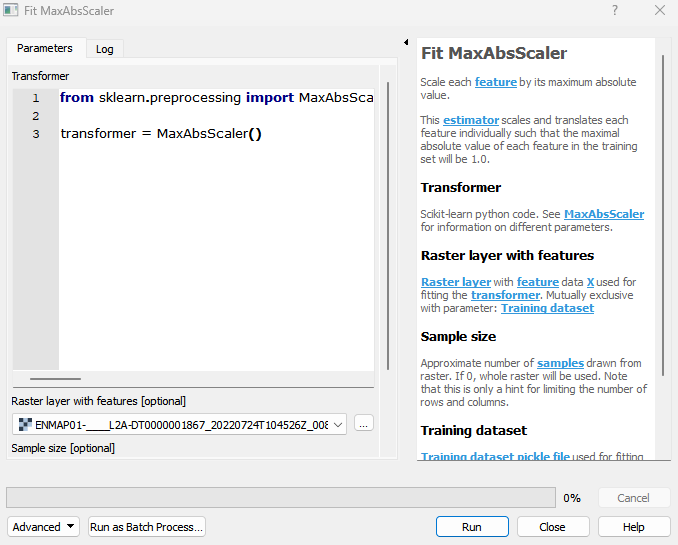
Scikit-learn python code. See MaxAbsScaler for information on different parameters. Default:
from sklearn.preprocessing import MaxAbsScaler

transformer = MaxAbsScaler\(\)
- Raster layer with features [raster]
Raster layer with feature data X used for fitting the transformer. Mutually exclusive with parameter: Training dataset
- Sample size [number]
Approximate number of samples drawn from raster. If 0, whole raster will be used. Note that this is only a hint for limiting the number of rows and columns. Default: 1000
- Training dataset [file]
Training dataset pickle file used for fitting the transformer. Mutually exclusive with parameter: Raster layer with features
Outputs
- Output transformer [fileDestination]
Pickle file destination.
Command-line usage
>qgis_process help enmapbox:fitmaxabsscaler:
----------------
Arguments
----------------

transformer: Transformer
    Default value:    from sklearn.preprocessing import MaxAbsScaler

transformer = MaxAbsScaler()
    Argument type:    string
    Acceptable values:
        - String value
        - field:FIELD_NAME to use a data defined value taken from the FIELD_NAME field
        - expression:SOME EXPRESSION to use a data defined value calculated using a custom QGIS expression
featureRaster: Raster layer with features (optional)
    Argument type:    raster
    Acceptable values:
        - Path to a raster layer
sampleSize: Sample size (optional)
    Default value:    1000
    Argument type:    number
    Acceptable values:
        - A numeric value
        - field:FIELD_NAME to use a data defined value taken from the FIELD_NAME field
        - expression:SOME EXPRESSION to use a data defined value calculated using a custom QGIS expression
dataset: Training dataset (optional)
    Argument type:    file
    Acceptable values:
        - Path to a file
outputTransformer: Output transformer
    Argument type:    fileDestination
    Acceptable values:
        - Path for new file

----------------
Outputs
----------------

outputTransformer: <outputFile>
    Output transformer