Create grid
Create an empty raster that can be used as a grid.
Usage:
Open the algorithm from the processing toolbox.
Select a CRS and define the new grid’s spatial extent, as well as horizontal and vertical resolution, then click run.
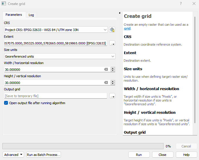
Parameters
- CRS [crs]
Destination coordinate reference system.
- Extent [extent]
Destination extent.
- Size units [enum]
Units to use when defining target raster size/resolution.
- Width / horizontal resolution [number]
Target width if size units is “Pixels”, or horizontal resolution if size units is “Georeferenced units”. Default: 0
- Height / vertical resolution [number]
Target height if size units is “Pixels”, or vertical resolution if size units is “Georeferenced units”. Default: 0
Outputs
- Output grid [rasterDestination]
Raster file destination.
Command-line usage
>qgis_process help enmapbox:creategrid:
----------------
Arguments
----------------

crs: CRS
    Argument type:    crs
    Acceptable values:
        - CRS as an auth ID (e.g. 'EPSG:3111')
        - CRS as a PROJ4 string (e.g. 'PROJ4:…')
        - CRS as a WKT string (e.g. 'WKT:…')
        - Path to a layer. The CRS of the layer is used.
extent: Extent
    Argument type:    extent
    Acceptable values:
        - A comma delimited string of x min, x max, y min, y max. E.g. '4,10,101,105'
        - Path to a layer. The extent of the layer is used.
unit: Size units
    Argument type:    enum
    Available values:
        - 0: Pixels
        - 1: Georeferenced units
    Acceptable values:
        - Number of selected option, e.g. '1'
        - Comma separated list of options, e.g. '1,3'
width: Width / horizontal resolution
    Default value:    0
    Argument type:    number
    Acceptable values:
        - A numeric value
        - field:FIELD_NAME to use a data defined value taken from the FIELD_NAME field
        - expression:SOME EXPRESSION to use a data defined value calculated using a custom QGIS expression
hight: Height / vertical resolution
    Default value:    0
    Argument type:    number
    Acceptable values:
        - A numeric value
        - field:FIELD_NAME to use a data defined value taken from the FIELD_NAME field
        - expression:SOME EXPRESSION to use a data defined value calculated using a custom QGIS expression
outputGrid: Output grid
    Argument type:    rasterDestination
    Acceptable values:
        - Path for new raster layer

----------------
Outputs
----------------

outputGrid: <outputRaster>
    Output grid