Spectral resampling (to wavelength)
Spectrally resample a spectral raster layer by applying linear interpolation or nearest neighbour selection at given wavelengths. See Linear Interpolation Wikipedia Article for more details.
Usage:
Start the algorithm from the Processing Toolbox panel.
Select a raster layer to process and a file containing wavelength data, then click run.
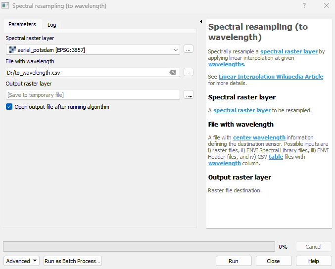
Parameters
- Spectral raster layer [raster]
A spectral raster layer to be resampled.
- File with wavelength [file]
A file with center wavelength information defining the destination sensor. Possible inputs are i) raster files, ii) ENVI Spectral Library files, iii) ENVI Header files, and iv) CSV table files with wavelength column.
- Resample algorithm [enum]
Spectral resample algorithm.
Default: 1
Outputs
- Output raster layer [rasterDestination]
Raster file destination.
Command-line usage
>qgis_process help enmapbox:SpectralResamplingToWavelength:
----------------
Arguments
----------------

raster: Spectral raster layer
    Argument type:  raster
    Acceptable values:
            - Path to a raster layer
wavelengthFile: File with wavelength
    Argument type:  file
    Acceptable values:
            - Path to a file
resampleAlg: Resample algorithm (optional)
    Default value:  1
    Argument type:  enum
    Available values:
            - 0: Nearest neighbour
            - 1: Linear
    Acceptable values:
            - Number of selected option, e.g. '1'
            - Comma separated list of options, e.g. '1,3'
outputResampledRaster: Output raster layer
    Argument type:  rasterDestination
    Acceptable values:
            - Path for new raster layer

----------------
Outputs
----------------

outputResampledRaster: <outputRaster>
    Output raster layer