Random points from raster layer value-ranges
This algorithm creates a new point layer with a given number of random points, all of them within specified value-ranges of the given raster band.
Usage:
Start the algorithm from the Processing Toolbox panel.
Select a categorized raster layer to process define the number of points per value range as well as your distance settings. Then click run.
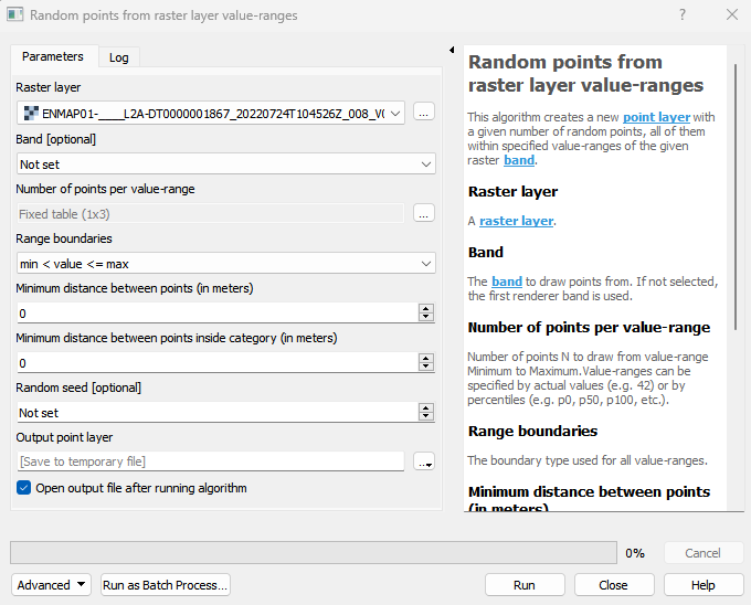
Parameters
- Raster layer [raster]
A raster layer.
- Band [band]
The band to draw points from. If not selected, the first renderer band is used.
- Number of points per value-range [matrix]
Number of points N to draw from value-range Minimum to Maximum.Value-ranges can be specified by actual values (e.g. 42) or by percentiles (e.g. p0, p50, p100, etc.).
- Range boundaries [enum]
The boundary type used for all value-ranges.
Default: 0
- Minimum distance between points (in meters) [number]
A minimum (Euclidean) distance between points can be specified.
Default: 0
- Minimum distance between points inside category (in meters) [number]
A minimum (Euclidean) distance between points in a value-range can be specified.
Default: 0
- Random seed [number]
The seed for the random generator can be provided.
Outputs
- Output point layer [vectorDestination]
Vector file destination.
Command-line usage
>qgis_process help enmapbox:RandomPointsFromRasterLayerValueranges:
----------------
Arguments
----------------

raster: Raster layer
    Argument type:  raster
    Acceptable values:
            - Path to a raster layer
band: Band (optional)
    Argument type:  band
    Acceptable values:
            - Integer value representing an existing raster band number
n: Number of points per value-range
    Argument type:  matrix
    Acceptable values:
            - A comma delimited list of values
boundaries: Range boundaries
    Default value:  0
    Argument type:  enum
    Available values:
            - 0: min < value <= max
            - 1: min <= value < max
            - 2: min <= value <= max
            - 3: min < value < max
    Acceptable values:
            - Number of selected option, e.g. '1'
            - Comma separated list of options, e.g. '1,3'
distanceGlobal: Minimum distance between points (in meters)
    Default value:  0
    Argument type:  number
    Acceptable values:
            - A numeric value
            - field:FIELD_NAME to use a data defined value taken from the FIELD_NAME field
            - expression:SOME EXPRESSION to use a data defined value calculated using a custom QGIS expression
distanceStatum: Minimum distance between points inside category (in meters)
    Default value:  0
    Argument type:  number
    Acceptable values:
            - A numeric value
            - field:FIELD_NAME to use a data defined value taken from the FIELD_NAME field
            - expression:SOME EXPRESSION to use a data defined value calculated using a custom QGIS expression
seed: Random seed (optional)
    Argument type:  number
    Acceptable values:
            - A numeric value
            - field:FIELD_NAME to use a data defined value taken from the FIELD_NAME field
            - expression:SOME EXPRESSION to use a data defined value calculated using a custom QGIS expression
outputPoints: Output point layer
    Argument type:  vectorDestination
    Acceptable values:
            - Path for new vector layer

----------------
Outputs
----------------

outputPoints: <outputVector>
    Output point layer