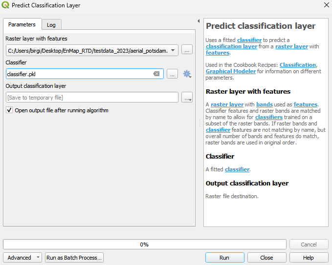
Predict classification layer
Uses a fitted classifier to predict a classification layer from a raster layer with features.
Used in the Cookbook Recipes: Classification, Graphical Modeler for information on different parameters.
Usage:
Start the algorithm from the Processing Toolbox panel.
Select a raster to process and a trained classifier then click run.
Parameters
- Raster layer with features [raster]
A raster layer with bands used as features. Classifier features and raster bands are matched by name to allow for classifiers trained on a subset of the raster bands. If raster bands and classifier features are not matching by name, but overall number of bands and features do match, raster bands are used in original order.
- Classifier [file]
A fitted classifier.
- Match features and bands by name [boolean]
Whether to match raster bands and classifier features by name. Default: False
Outputs
- Output classification layer [rasterDestination]
Raster file destination.
Command-line usage
>qgis_process help enmapbox:predictclassificationlayer:
----------------
Arguments
----------------

raster: Raster layer with features
    Argument type:    raster
    Acceptable values:
        - Path to a raster layer
classifier: Classifier
    Argument type:    file
    Acceptable values:
        - Path to a file
matchByName: Match features and bands by name (optional)
    Default value:    false
    Argument type:    boolean
    Acceptable values:
        - 1 for true/yes
        - 0 for false/no
        - field:FIELD_NAME to use a data defined value taken from the FIELD_NAME field
        - expression:SOME EXPRESSION to use a data defined value calculated using a custom QGIS expression
outputClassification: Output classification layer
    Argument type:    rasterDestination
    Acceptable values:
        - Path for new raster layer

----------------
Outputs
----------------

outputClassification: <outputRaster>
    Output classification layer