Import EMIT L2A product
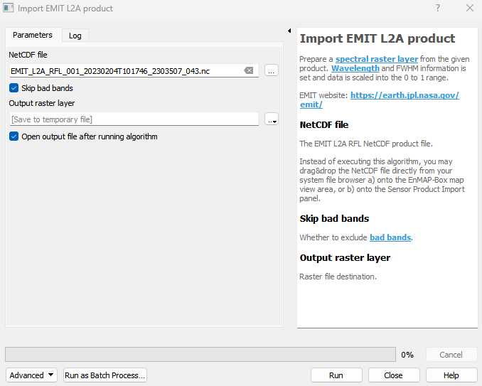
Prepare a spectral raster layer from the given product. Wavelength and FWHM information is set and data is scaled into the 0 to 1 range. EMIT website: https://earth.jpl.nasa.gov/emit/
Usage:
Open the algorithm from the processing toolbox.
Select the metadata file, then click run.
The output raster can be found under Rasters in the Data Source Panel
Parameters
- NetCDF file [file]
The EMIT L2A RFL NetCDF product file. Instead of executing this algorithm, you may drag&drop the NetCDF file directly from your system file browser a) onto the EnMAP-Box map view area, or b) onto the Sensor Product Import panel.
- Skip bad bands [boolean]
Whether to exclude bad bands.
Default: True
Outputs
- Output raster layer [rasterDestination]
Raster file destination.
Command-line usage
>qgis_process help enmapbox:ImportEmitL2AProduct:
----------------
Arguments
----------------

file: NetCDF file
    Argument type:  file
    Acceptable values:
            - Path to a file
skipBadBands: Skip bad bands
    Default value:  true
    Argument type:  boolean
    Acceptable values:
            - 1 for true/yes
            - 0 for false/no
            - field:FIELD_NAME to use a data defined value taken from the FIELD_NAME field
            - expression:SOME EXPRESSION to use a data defined value calculated using a custom QGIS expression
outputEmitL2ARaster: Output raster layer
    Argument type:  rasterDestination
    Acceptable values:
            - Path for new raster layer

----------------
Outputs
----------------

outputEmitL2ARaster: <outputRaster>
    Output raster layer