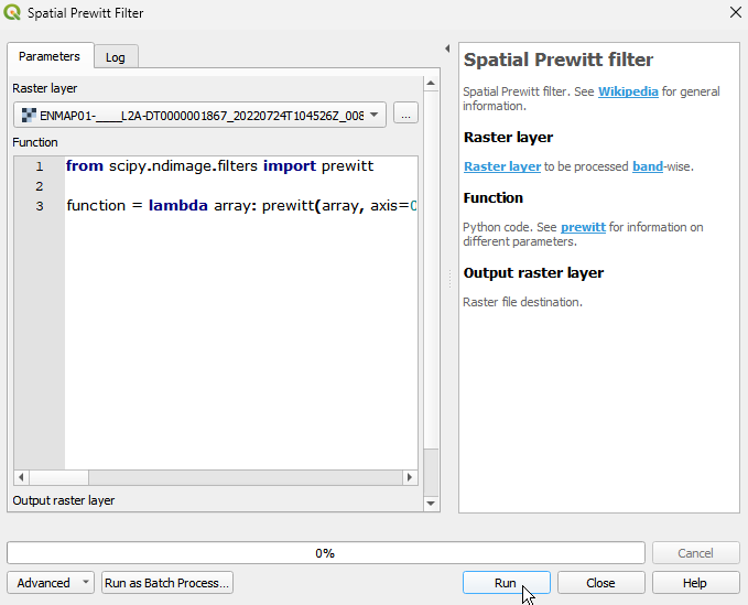
Spatial Prewitt filter
Spatial Prewitt filter. See Wikipedia for general information.
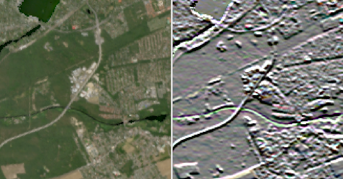
The Prewitt filter calculates the gradient of an image by approximating the derivative of the image intensity with respect to the spatial coordinates. It specifically focuses on detecting vertical and horizontal edges in an image.
Usage:
Start the algorithm from the Processing Toolbox panel.
Select the raster to process and modify the parameterization if necessary, then click run.
Processed image in comparison to the original.
Parameters
- Raster layer [raster]
Raster layer to be processed band-wise.
- Function [string]
Python code. See prewitt for information on different parameters. Default:
from scipy.ndimage.filters import prewitt

function = lambda array: prewitt\(array, axis=0\)
Outputs
- Output raster layer [rasterDestination]
Raster file destination.
Command-line usage
>qgis_process help enmapbox:spatialprewittfilter:
----------------
Arguments
----------------

raster: Raster layer
    Argument type:    raster
    Acceptable values:
        - Path to a raster layer
function: Function
    Default value:    from scipy.ndimage.filters import prewitt

function = lambda array: prewitt(array, axis=0)
    Argument type:    string
    Acceptable values:
        - String value
        - field:FIELD_NAME to use a data defined value taken from the FIELD_NAME field
        - expression:SOME EXPRESSION to use a data defined value calculated using a custom QGIS expression
outputRaster: Output raster layer
    Argument type:    rasterDestination
    Acceptable values:
        - Path for new raster layer

----------------
Outputs
----------------

outputRaster: <outputRaster>
    Output raster layer