Spatial morphological Gradient filter
Spatial morphological Gradient filter. See Wikipedia for general information.
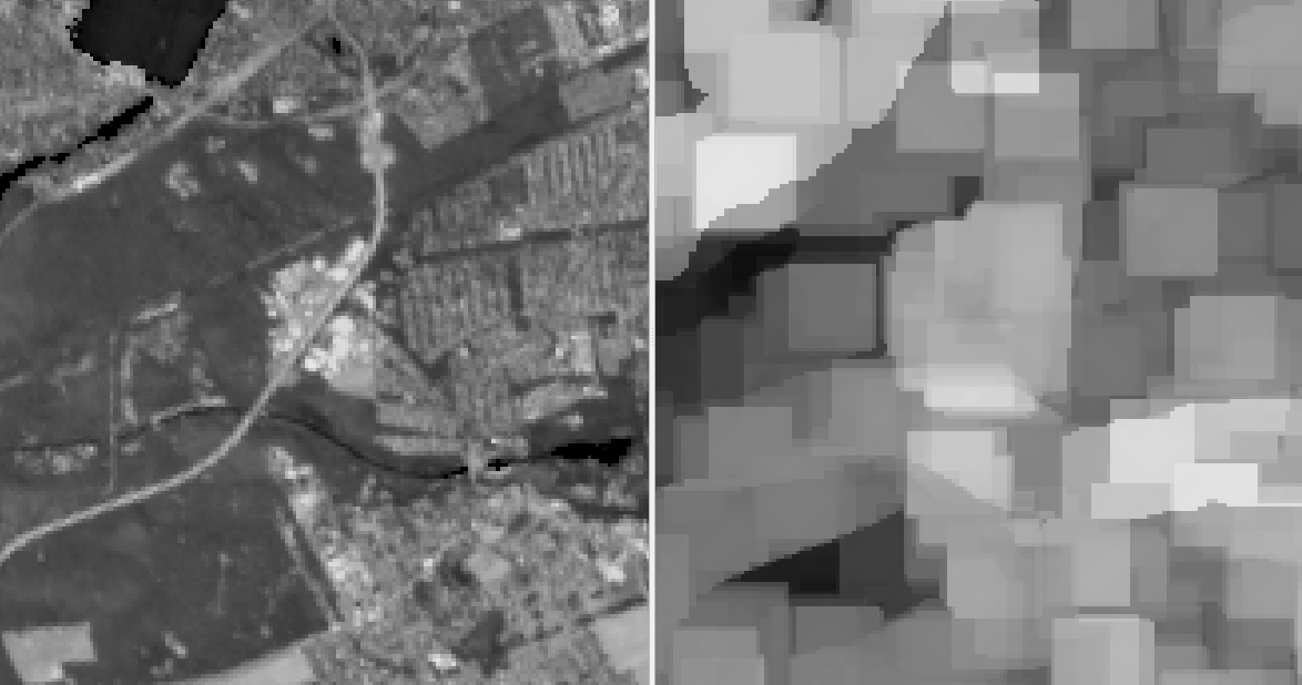
The Spatial Morphological Gradient filter calculates the difference between the dilation and erosion of an image using a structuring element. Dilation expands the regions of an image, while erosion shrinks them. By taking the difference between these two operations, the filter effectively enhances the boundaries or edges of objects in the image.
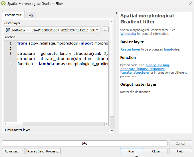
Usage:
Start the algorithm from the Processing Toolbox panel.
Select the raster to process and modify the parameterization if necessary, then click run.
Processed image in comparison to the original.
Parameters
- Raster layer [raster]
Raster layer to be processed band-wise.
- Function [string]
Python code. See binary_closing, generate_binary_structure, iterate_structure for information on different parameters.
Default:
from scipy.ndimage import morphological_gradient, generate_binary_structure, iterate_structure

structure = generate_binary_structure(rank=2, connectivity=1)
structure = iterate_structure(structure=structure, iterations=1)
function = lambda array: morphological_gradient(array, structure=structure)
Outputs
- Output raster layer [rasterDestination]
Raster file destination.
Command-line usage
>qgis_process help enmapbox:SpatialMorphologicalGradientFilter:
----------------
Arguments
----------------

raster: Raster layer
    Argument type:  raster
    Acceptable values:
            - Path to a raster layer
function: Function
    Default value:  from scipy.ndimage import morphological_gradient, generate_binary_structure, iterate_structure

structure = generate_binary_structure(rank=2, connectivity=1)
structure = iterate_structure(structure=structure, iterations=1)
function = lambda array: morphological_gradient(array, structure=structure)
    Argument type:  string
    Acceptable values:
            - String value
            - field:FIELD_NAME to use a data defined value taken from the FIELD_NAME field
            - expression:SOME EXPRESSION to use a data defined value calculated using a custom QGIS expression
outputRaster: Output raster layer
    Argument type:  rasterDestination
    Acceptable values:
            - Path for new raster layer

----------------
Outputs
----------------

outputRaster: <outputRaster>
    Output raster layer