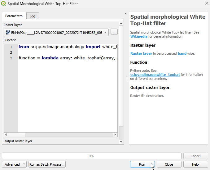
Spatial morphological White Top-Hat filter
Spatial morphological White Top-Hat filter. See Wikipedia for general information.
The Spatial morphological White Top-Hat filter is used to extract and enhance small bright structures or features from an image. It is achieved through a combination of morphological closing and subtraction operations, isolating the desired components while suppressing lower intensity regions.
Usage:
Start the algorithm from the Processing Toolbox panel.
Select the raster to process and modify the parameterization if necessary, then click run.
Processed image in comparison to the original.

Parameters
- Raster layer [raster]
Raster layer to be processed band-wise.
- Function [string]
Python code. See scipy.ndimage.white_tophat for information on different parameters.
Default:
from scipy.ndimage import white_tophat

function = lambda array: white_tophat(array, size=(3, 3))
Outputs
- Output raster layer [rasterDestination]
Raster file destination.
Command-line usage
>qgis_process help enmapbox:SpatialMorphologicalWhiteTophatFilter:
----------------
Arguments
----------------

raster: Raster layer
    Argument type:  raster
    Acceptable values:
            - Path to a raster layer
function: Function
    Default value:  from scipy.ndimage import white_tophat

function = lambda array: white_tophat(array, size=(3, 3))
    Argument type:  string
    Acceptable values:
            - String value
            - field:FIELD_NAME to use a data defined value taken from the FIELD_NAME field
            - expression:SOME EXPRESSION to use a data defined value calculated using a custom QGIS expression
outputRaster: Output raster layer
    Argument type:  rasterDestination
    Acceptable values:
            - Path for new raster layer

----------------
Outputs
----------------

outputRaster: <outputRaster>
    Output raster layer